Appalachian Trail
(Carvers Gap to Highway 19E)
Around Thanksgiving of last year, my Dad came up with the idea to get the family together for a reunion. This happens very rarely (never), but sounded tolerable none-the-less. He's good friends with the innkeepers of The Inn Around the Corner, a quaint B&B in Black Mountain, NC, who graciously agreed to host our entire clan for the weekend.
Our kids were on Spring Break from school and so it was that we found ourselves in western North Carolina, just a short drive from the fabled Appalachian Trail. The plan was to hike a 2-day, 1-night section along the North Carolina and Tennessee border from Carvers Gap to US Highway 19E. I had done some preliminary research and discovered that the Mountain Harbour B&B in Roan Mountain, TN offered a shuttle service and hostel for AT hikers. We could park our car, hitch a ride to the gap, and hike back to the car so we didn't have to retrace our steps. This section of trail was especially noted for its picturesque balds and mostly downhill elevation profile. A desired quality considering we planned to drag our kids along.
For early April, the weather outlook was good. After a fantastic breakfast, we said our goodbyes and headed out under blue skies and a warming sun. My Dad agreed to see us off, so we caravanned to Tennessee. The blue skies quickly changed to gray, which quickly changed again to snowy white as we gained elevation. By the time we reached Roan Mountain, TN, it was positively scary -- the snow wasn't falling down, it was blowing horizontally. Even though we had prepared for inclement weather, it was apparent that it would be negligent to willfully take our kids up the mountain with a mandatory 15-mile hike to the nearest town. We decided to stop at Mountain Harbour for some local knowledge. Turns out they had been busy performing rescues for AT hikers all morning. They had brought several groups out and recently noted that the road up to Carvers Gap had iced over. It didn't take a rocket scientist to realize we'd be crazy to attempt it -- especially with young kids. In the end, wisdom prevailed and we decided to try again the next day. The local forecast was calling for an abrupt end to the blizzard and pleasant temps for the remainder of the week.
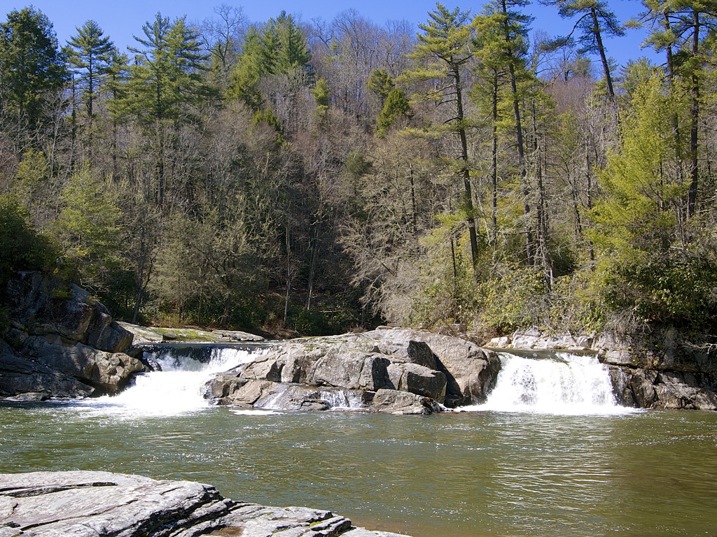
Tip: Click to enlarge. Use the 'Left' and 'Right' arrow keys to navigate the gallery.
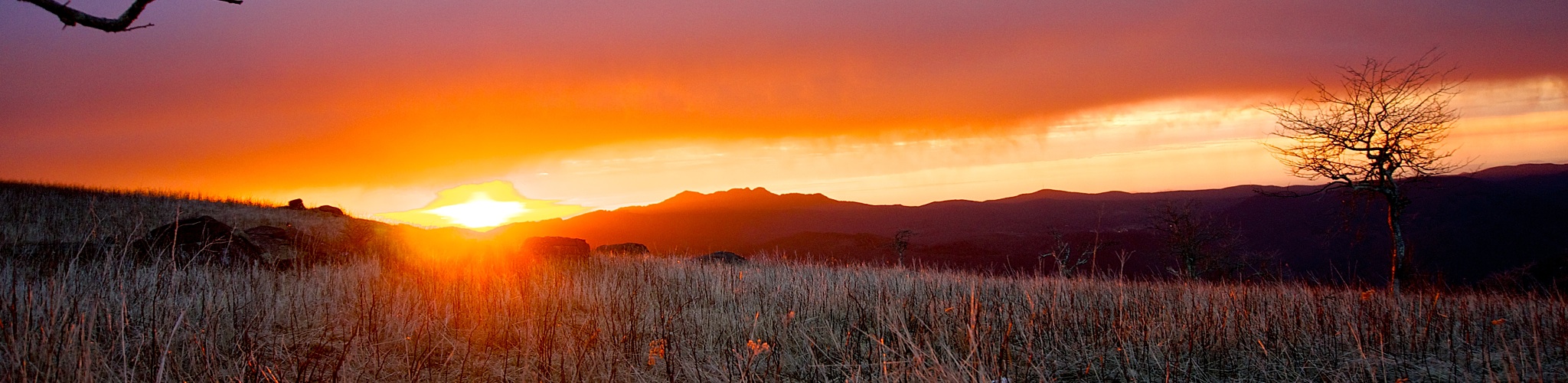
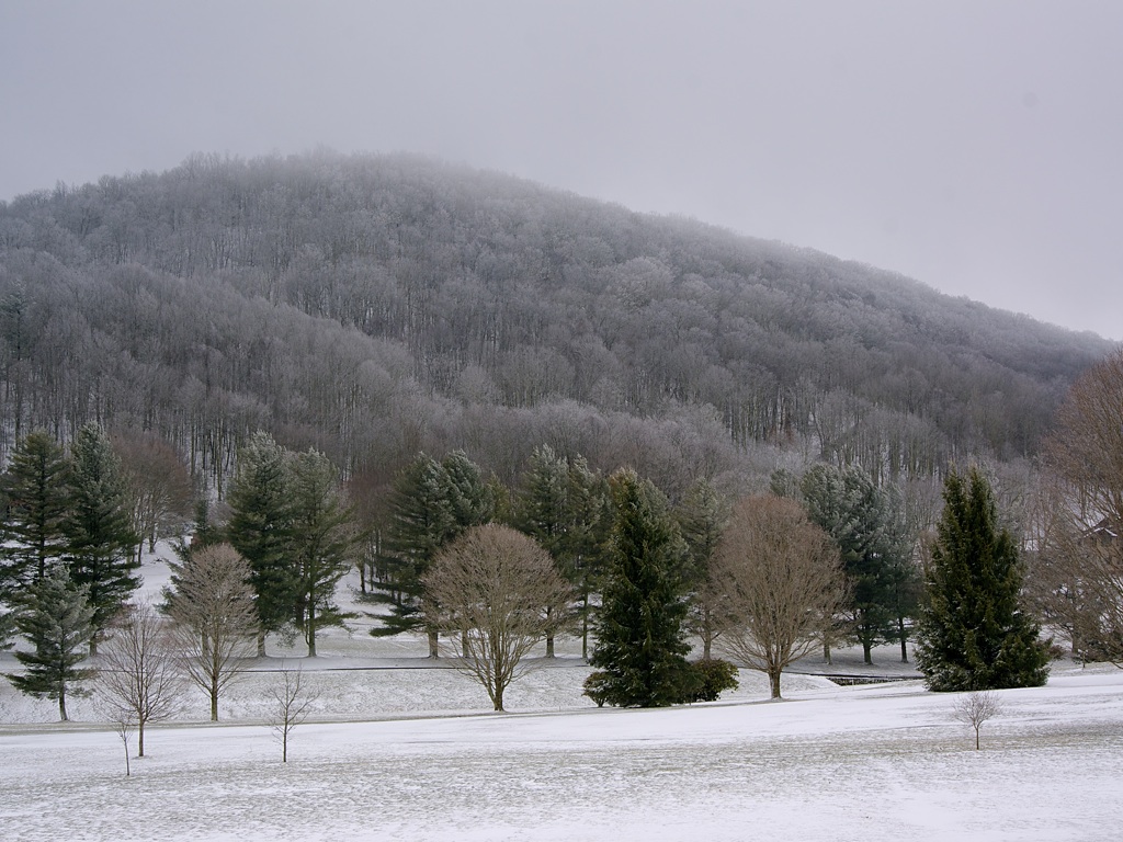
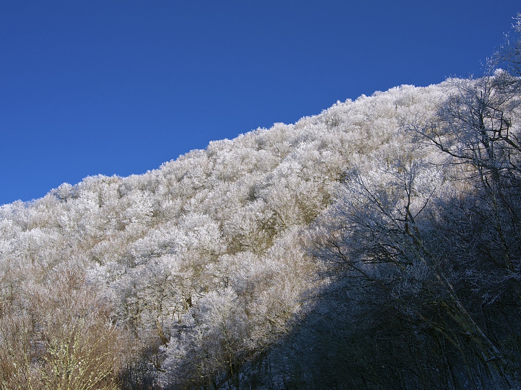
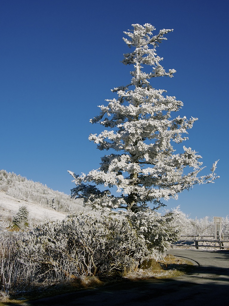
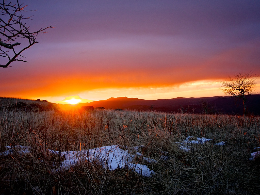
Dad continued on to Indiana and we decided to explore the local area. We made a brief visit to nearby Linville Carverns and were led through the caves by a most uninspiring tour guide whose only comprehensible sentence was, "Does anyone have any questions?" Soon after, the weather broke and gifted us with a winter wonderland -- the rare kind that can only be seen in those fleeting moments before nature reverses course and erodes the very scene it so painstakingly created. We still had a few hours before sunset, so we drove up to Carvers Gap to scout. We were blown-away by two things: 1.) The incredible beauty of wind-driven snow plastered to every surface, and 2.) The wind. We were literally blown-away. We could not stand up straight. Backpacking in these conditions would be miserable, not to mention dangerous. We went to bed hoping tomorrow would be better.
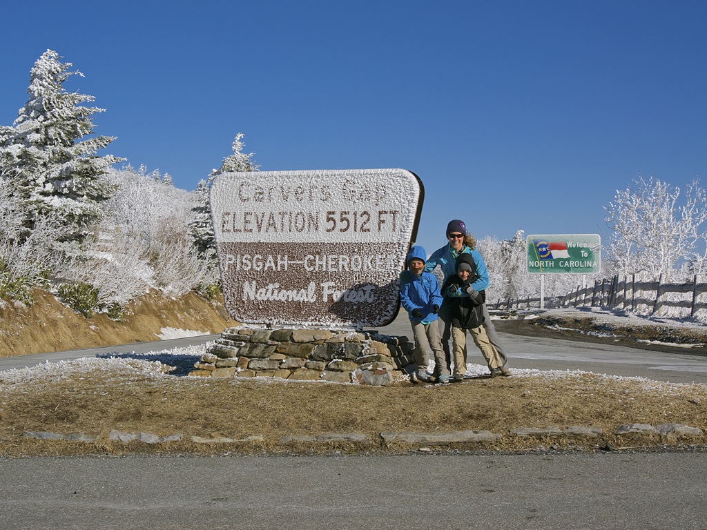
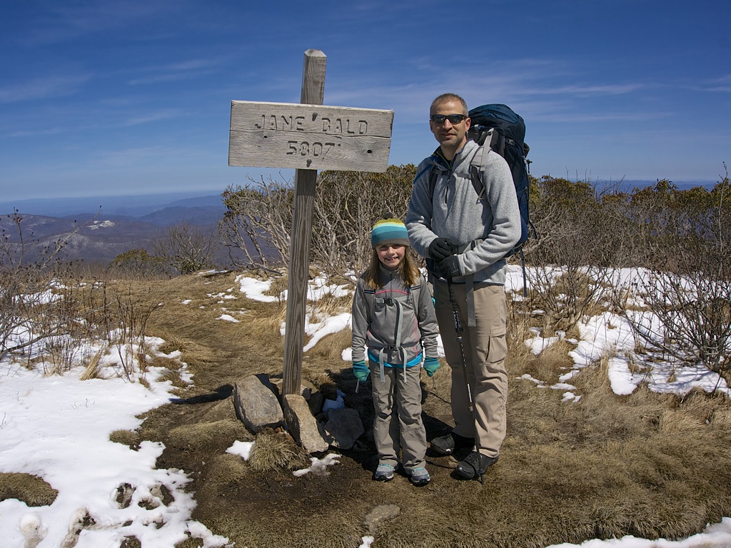
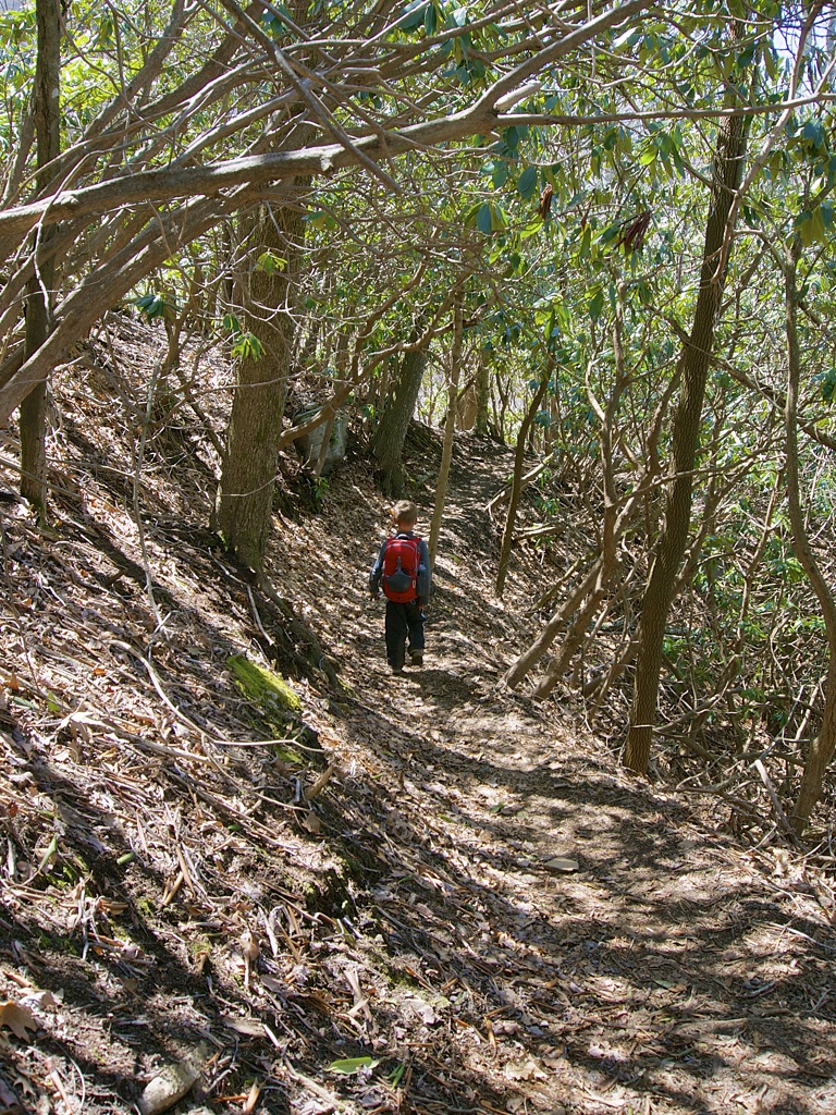
We awoke to gray skies and little wind. After a hearty breakfast we packed our gear and were shuttled to Carvers Gap to try again. The sun peeked out on the drive and we arrived to discover that much of the snow had melted overnight. What a difference! We unloaded and were soon left to fend for ourselves.
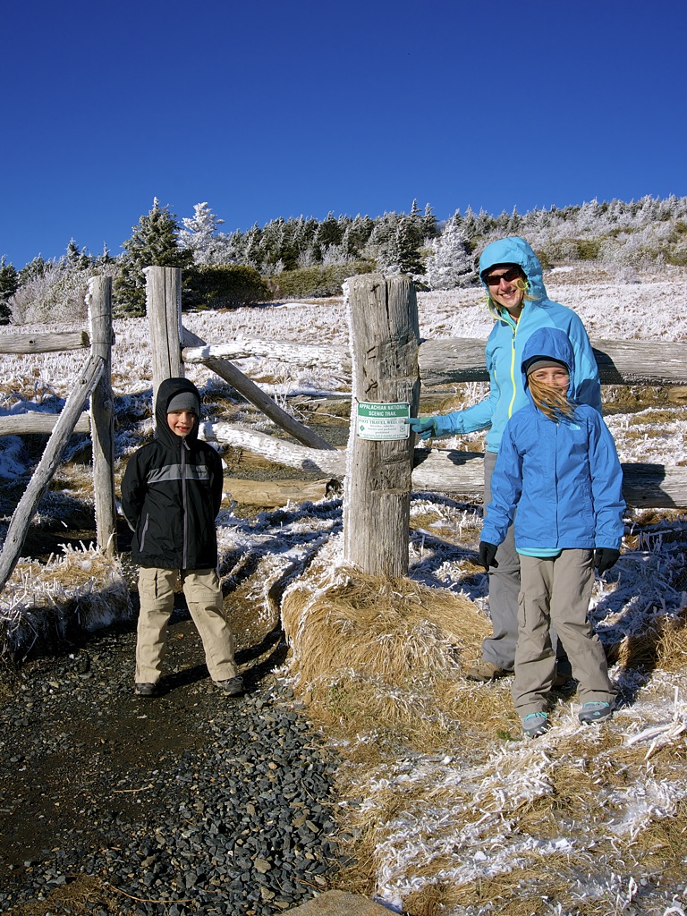
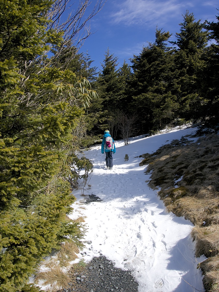
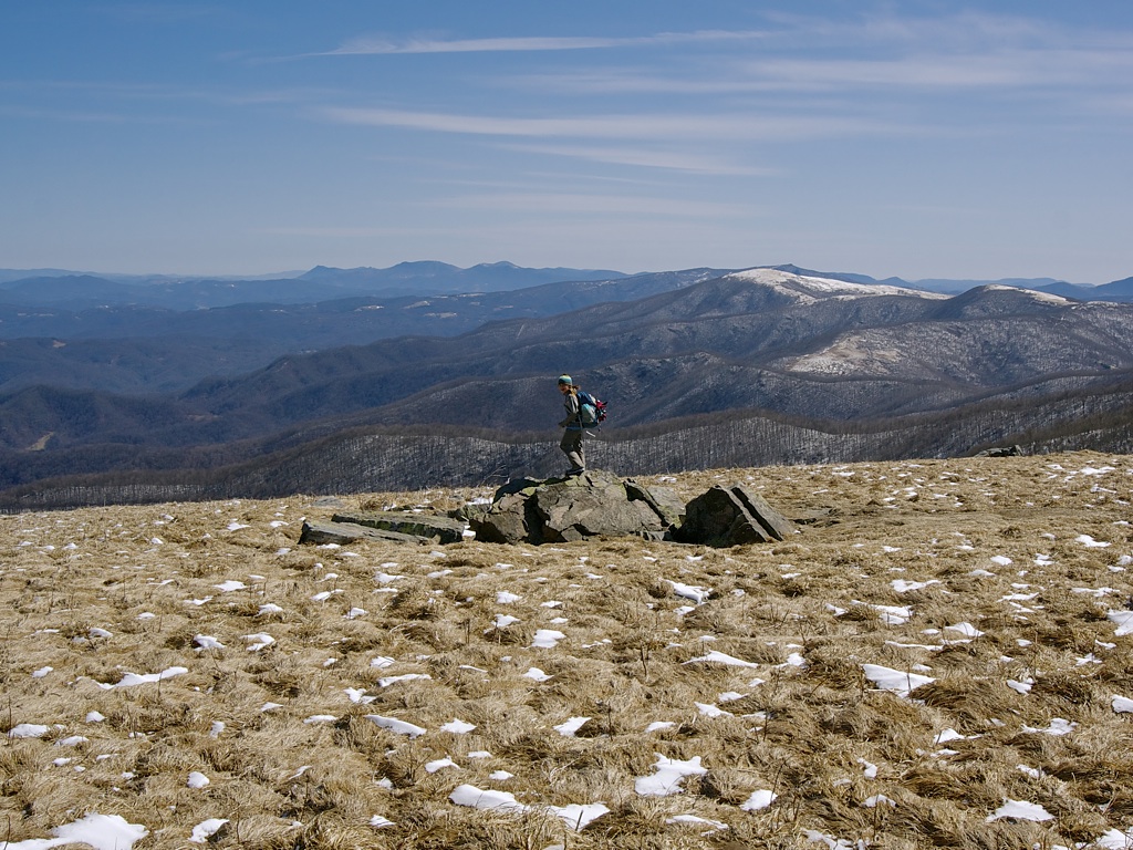

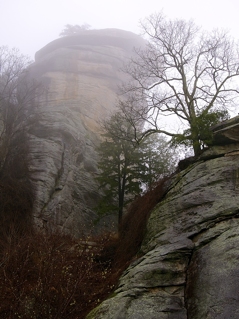
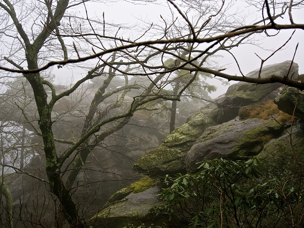
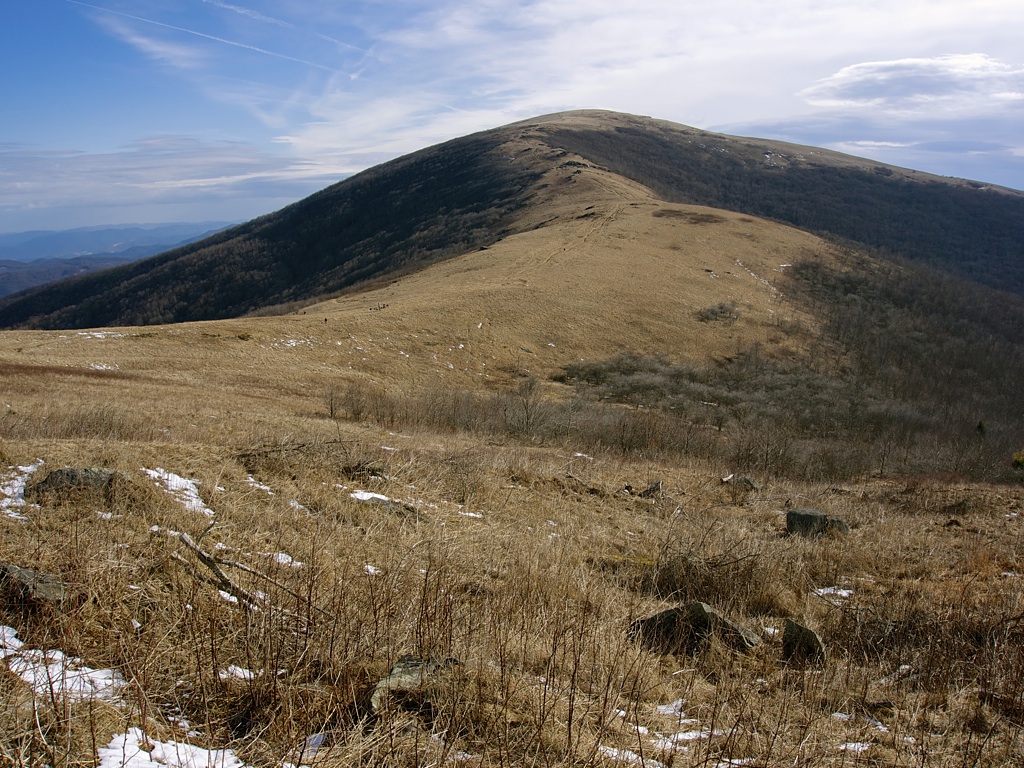
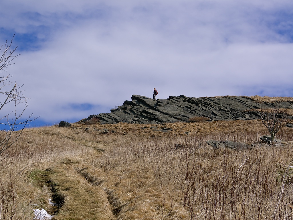
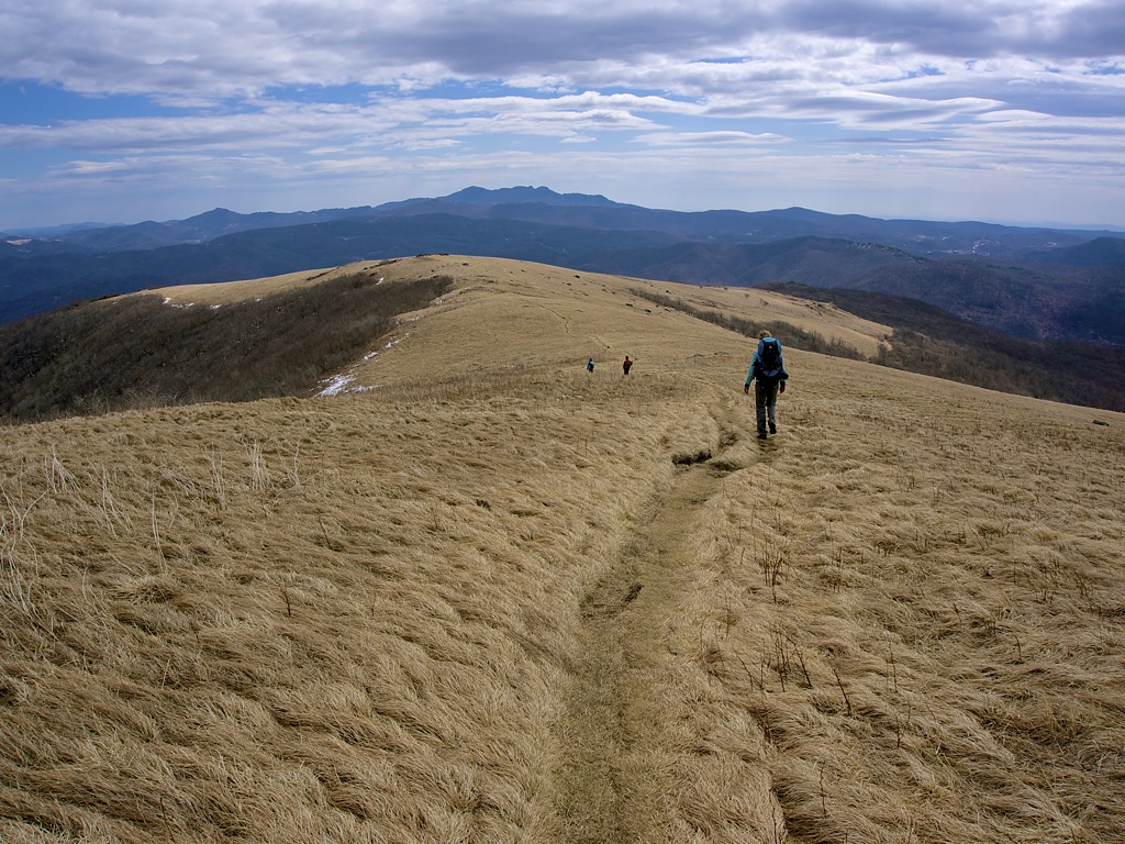
The first part of the trail winds through a natural Fraser Fir forest. John Fraser discovered and named the species in this exact area in the late 1700's. After a too-short trek through the fir forest, we were exposed to our first of four grassy balds. How and why a summit develops into a grassy bald is curiously unknown.
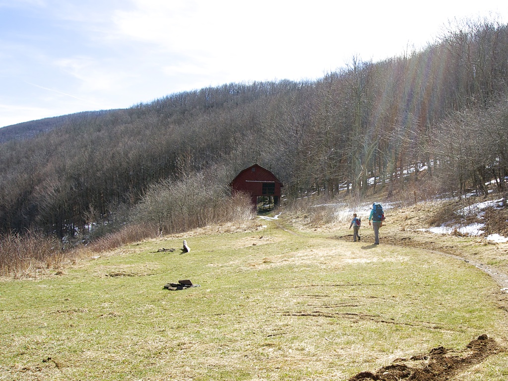
We passed through another historically interesting area near the well-maintained Overmountain Shelter. The area was used by the Overmountain Men in the American Revolutionary War where they crossed the mountain at Yellow Mountain Gap.

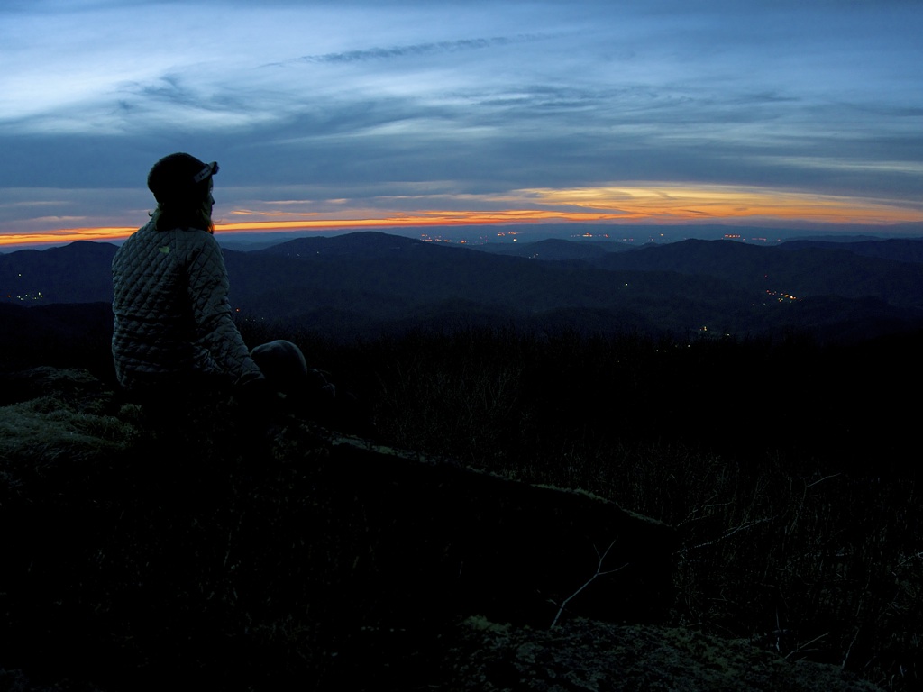
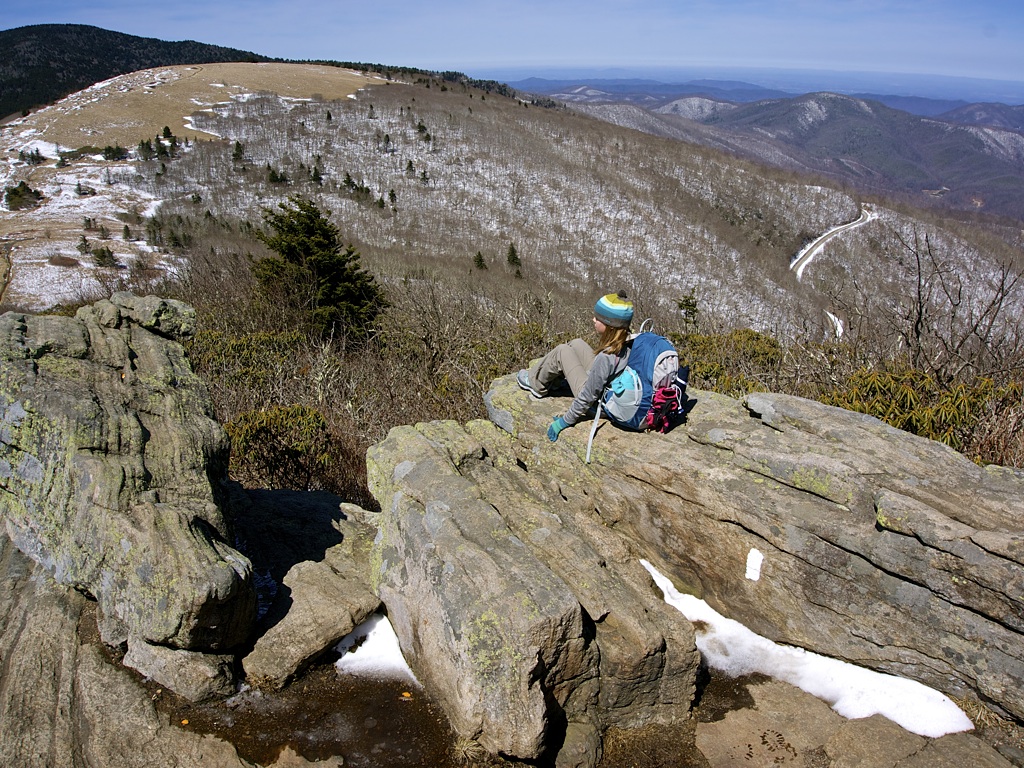
We camped for the night in a grassy area on the leeward side of Little Hump Mountain. What a view -- both at sunset and sunrise! The wind whipped up again during the night so our plan for pancakes was postponed. Starting the stove would have required a bit more fortitude and I was anxious to get moving. We needed to make it back to Indiana as I had to work the next morning.
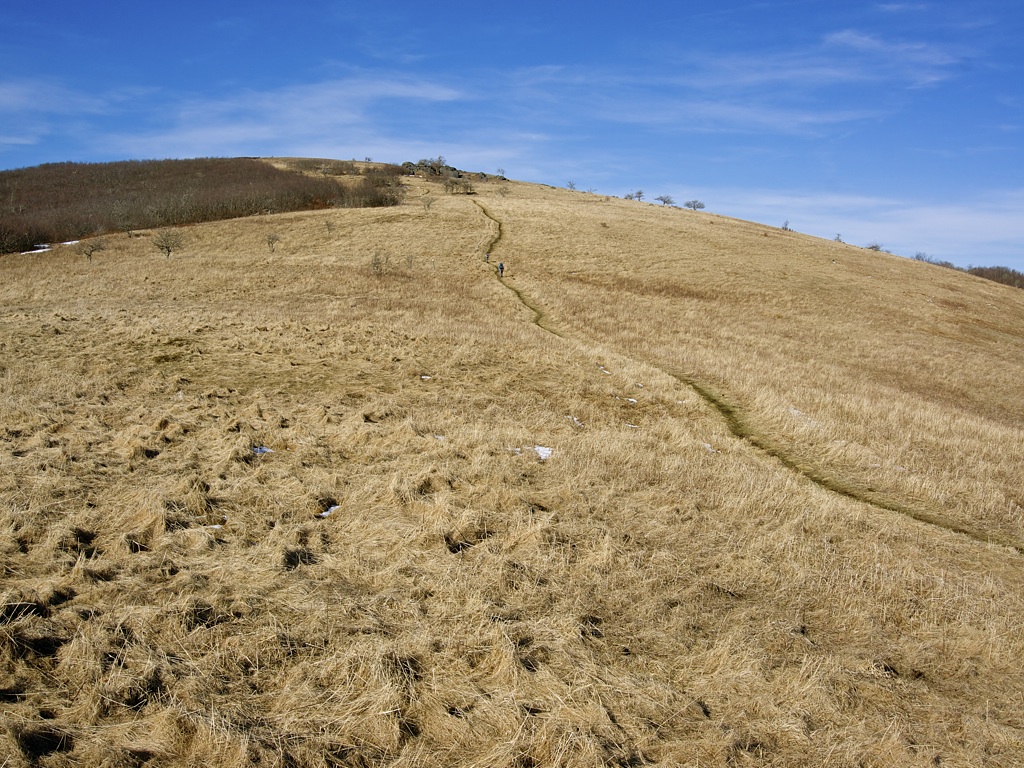
(Big) Hump Mountain was the last rigorous climb on the route. It was all downhill from the summit. Six miles of downhill. Our quads took a beating, but we grinded it out and arrived at US Highway 19E at about 3:30pm. I slack-packed another .3 miles west to Mountain Harbour to get the car. Mel and I witnessed true deliriousness on the drive home. For 45 minutes, the kids literally could not stop giggling at the most dull things. For example, "Did you see that car? It was red." This mundane observation was followed by 5 minutes of uncontrollable laughter, and then the process repeated itself. Then, as if a switch was flipped, they completely zonked out. Greta was still holding a drink in one hand and a half-used napkin in the other. Dirk was her mirror opposite. Hopefully, they aren't permanently scarred by the experience.


Several general AT trail observations in no particular order:
- The footpath is often several inches, and in some cases a full foot, lower than the surrounding flora. I can only assume that it has been worn down by decades of use.
- We enjoyed meeting all of the thru-hikers we came across. (A thru-hiker is attempting the entire length of the trail in a single year. It's roughly 2,180 miles from Georgia to Maine.) We encountered several, and the kids enjoyed learning their trail names. Of course, we had to adopt our own trail names. Dirk quickly became "Topple" -- he face-planted into the mud more than once. Greta is "Cruise", Mel is "Slide", and I'm "Kodak".
- Waterproof shoes are an absolute must-have. Even though it wasn't raining, we did encounter more than enough mud to go around. Everyone had good shoes except for Dirk (age 7). We didn't see the point in spending a bunch of money on something so temporary. We improvised and used plastic baggies from Subway over his socks. This worked pretty well.
- Water sources were plentiful, but often not on the beaten path. Plan to walk a few extra miles on side trails to retrieve water. I'm not sure if this is true of the entire AT, or just this section.
- Kids need to use the bathroom. A lot. Not surprisingly, there aren't any facilities. We should have practiced this more ahead of time.
What others are saying...